ArcGIS Integration
HUNTR can also connect directly to your ArcGIS server for easy download and upload of imagery. Any of the HUNTR supported file types on the server can be imported and automatically preprocessed for labeling or detection.
Connecting to ArcGIS
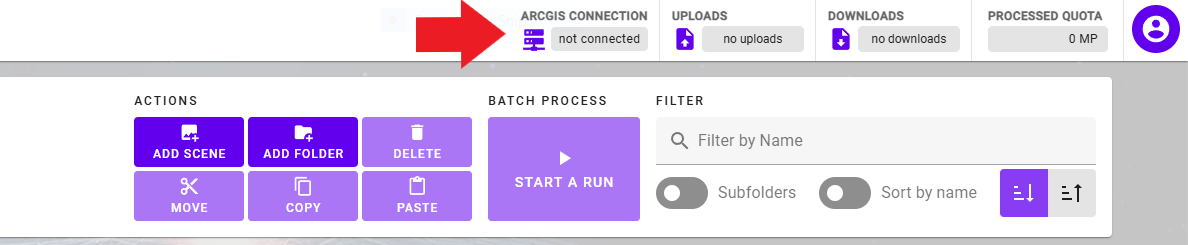
To connect to the ArcGIS server first click on the ARCGIS CONNECTION option in the top-right of the HUNTR interface.
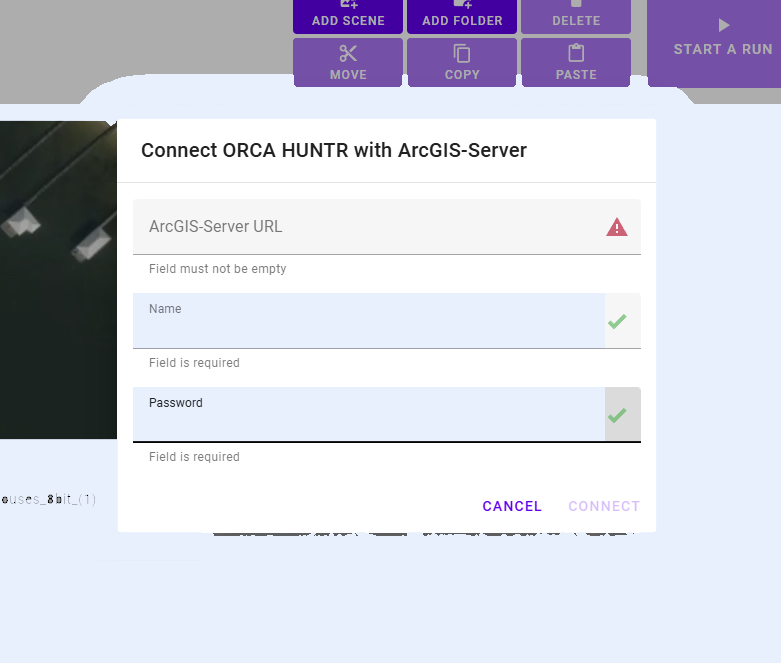
Next, you will need to Enter the URL to your ArcGIS server, as well as you credentials.
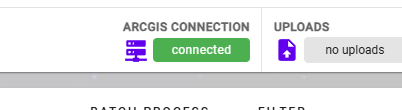
Once you are connected to the server, this information will be displayed under ARCGIS CONNECTION.
ArcGIS Server Browser (Import Imagery)
Once you are connected to the ArcGIS server, you can download imagery directly from the HUNTR interface. To access you imagery more to the ORCA HUNTR - ARCGIS-SERVER BROWSER view.
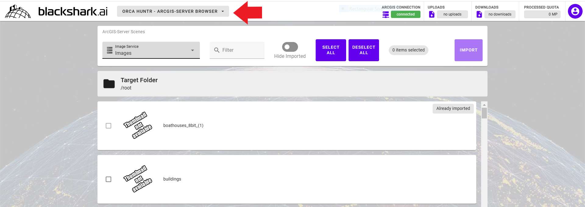
In this view, you will find all the options available for importing your images to HUNTR.
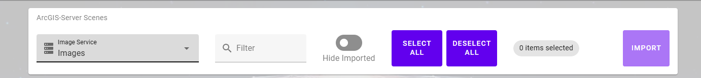
After selecting the Image Service, you will see a list off the available images on the ArcGIS server.
You can Filter the images, SELECT ALL, DESELECT ALL, and IMPORT the select images from the toolbar. There is also an option to Hide Imported images.
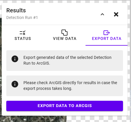
Exporting Data
After connecting to ArcGIS, you can export data from detection runs directly to your server. You can do this from the ORCA HUNTR map view, which can be accessed by clicking on and entering any of your imported scenes.
Click on the detection run, for which you would like to upload the data and use the EXPORT DATA tab in the RESULTS menu to export the data.